We may earn money or products from the companies mentioned in this post.
Hike one of these 9 best hiking trails North Georgia offers, and have a great day hike. The trails offer easy, to moderate, to strenuous hiking in places. They are great trails for getting away from it all and getting back on the trail again.
Also, when you take one of these hikes, consider an overnight or weekend visit. You can find many of these trails near the beautiful North Georgia mountain town of Blue Ridge, Georgia.
Take one of the following 9 best hiking trails in North Georgia and have a great day on the trail!
Aska Hiking Trails
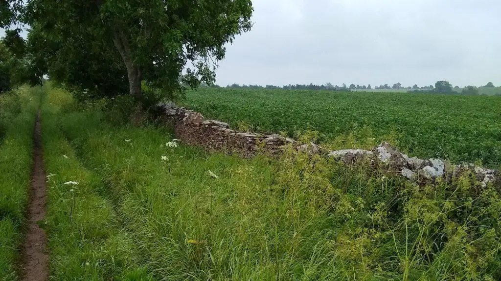
The Aska Trails Area has several of the 9 best hiking trails in North Georgia. The Aska Trails Area is a 17 mile long hiking and mountain bicycling trail system. Aska hiking trails are in the Chattahoochee National Forest in Fannin County near the beautiful mountain town of Blue Ridge, Georgia. The trails are close to Deep Gap on Aska Road. The trail’s distance ranges from 1.0 mile to 5.5 miles. The public can hike these trails year round.
Trails ascend to almost 3,200 feet and give you access to VERY pretty views of mountain ridges. The trails pass through areas of Rhododendron and dense Mountain Laurel. In addition, two trails cross or travel along mountain streams giving you a range of forest views.
Any time of the year is a good time to hike the trails. Flowing streams and wildflower displays are best during the spring. Winter days are often clear and cool with gorgeous views of distant mountains.

(Credit pixabay.com)
Campbell Road gives you access to trailheads located at Deep Gap, Stanley Gap, Shady Falls Road, and Forest Service Road 711. Parking is free. Trailhead bulletin boards show area maps and trail system maps.
Of the 9 best hiking trails in North Georgia, the Aska Trails system includes the following trails:
Aska Trails – Day Hikes
1. Stanley Gap Trail #165 – 4.8 miles; Difficult to Strenuous
The Stanley Gap trail takes you through a mixed hardwood forest with difficult climbs. The trail crosses the Benton MacKaye Trail and goes north for hikers. Hikers can also follow the trail south to Stanley Gap and Fall Branch Falls.
During the summer, the trails trees protect you from the sun and help you stay cool. During the late fall, winter, and early spring you have better views.
Be ready for a difficult climb. Even though it is difficult, you only need to watch your step during a few short sections. After every 50-100 feet you hike up, you have a short, flat trail so you can catch your breath.
At the trail’s highest point, just below the top of Rocky Mountain, you have a short hike down. After that, you have a final climb before you reach a two mile, 1000 foot descent. Turn north, and hike down to where the Benton MacKaye Trail (BMT) begins. The hike down has some rough sections too.
2. Flat Creek Loop #165B – 5.1 miles; Moderate to Difficult
The Flat Creek Loop trail starts about 100 yards from the Deep Gap parking lot (see the Deep Gap map below). The left fork is the Flat Creek Loop trail. The right fork is the Stanley Gap trail. At about 0.4 miles, the trail forks and begins the loop.
This trail is an easier version of the Stanley Gap Trail #165 above. Hike this trail counter clockwise. The hike to the trail’s high point is fairly wide and smooth. The grade is not as steep as when climbing the other direction.
On the way down you need to watch out for roots and rocks. You have a two mile hike down that descends 800 feet. Consider hiking poles to help your back, hips, knees, and ankles.
Also, be ready to cross about 6 creeks on your way down. The hike down is Intermediate difficulty. An intermediate hiker should be able to hike all the way down without much trouble. When you reach the bottom, be ready for a 400 foot climb out of the valley.
Like the Stanley Gap Trail, this trail has a lot of trees and brush. The summer has a lot of shade. Other times of the year have better views.
3. Green Mountain #165D – 3.7 miles; Moderate
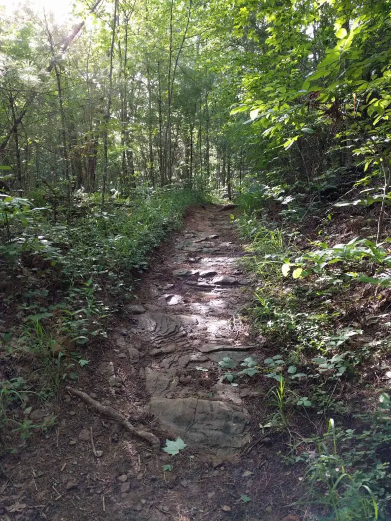
The Green Mountain trail begins across Aska Road from the Deep Gap parking lot (see the Deep Gap map below). The trail climbs slowly to the top of Green Mountain. On the trail, there are five, short, steep ascents. You can easily hike up these ascents. The trail descends for 2.4 miles and ends on Forest Road 711.
Park in the Deep Gap parking lot. Cross Aska Road to the trail’s east entrance. Begin the gentle hike up Green Mountain.
From Green Mountain, hike down to Lake Blue Ridge. When you cross the Long Branch Connector 165F, the trail becomes narrower. Watch out for roots and rocks, but the trail is still only moderately difficult.
After you hike about two miles, be careful! You will come to a cul-de-sac for several houses. Look to the left of the house directly in front of you for the entrance to the north side of Green Mountain Trail.
Like the other trails above, the forest helps keep you cool in the summer. You have better views other times of the year.
Deep Gap Parking Lot
Benton MacKaye Hiking Trail (BMT) – 3 of the Best Hiking Trails in North Georgia
The Benton MacKaye Hiking Trail includes a few more of the 9 best hiking trails in North Georgia. The Benton MacKaye Trail (BMT) is nearly 300 miles through the Appalachian mountains in the southeastern United States.
The trail is ideal for day hiking. The BMT starts at Springer Mountain, Georgia. Then, the trail passes through some of the most remote forests in Georgia, Tennessee, and North Carolina.
When you hike the BMT hiking trails described here, you hike in the Blue Ridge Wildlife Management Area (BR WMA). The BR WMA lies between Blue Ridge, Georgia and Dahlonega, Georgia.
There are three BMT loop hiking trails near Springer Mountain. The loop trails are 4.6 miles, 6.2 miles, and 10.6 miles. The loop trails are formed by parts of the BMT and the Appalachian Trail (AT).
The trails make great day hikes. They are 3 of the 9 best hiking trails in North Georgia. Begin all 3 trails at the Springer Mountain parking area.
Springer Mountain Parking for the AT, Blue Ridge, GA 30513
- From Blue Ridge, Georgia, take Aska Road for 12.9 miles.
- Turn right onto Newport Road for 4.2 miles.
- Next, turn right onto Doublehead Gap Road for 2 miles
- Finally, turn left into the Blue Ridge Wild Life Management Area. Drive for 6.7 miles until you see the Springer Mountain AT parking area.
BMT Loop Trails – 3 GREAT North Georgia Day Hiking Trails
1. Springer Mountain/Big Stamp Gap Loop – 4.6 miles; Moderate
Hike from the Springer Gap parking lot on Forest Service Road 42 south on the AT to Springer Mountain. Go north on the BMT to Big Stamp Gap to the first BMT/AT Intersection. Then, hike back south on the AT to the parking lot.
2. Springer Mountain/Three Forks Loop (Start AT North) – 6.2 miles; Strenuous
From the Springer Gap parking lot on Forest Service Road 42, hike north on the AT to the BMT intersection. Go north on the BMT. Hike to the third intersection with the AT. Go north on the BMT/AT to Three Forks. At Three Forks, go south on the AT to the parking lot.
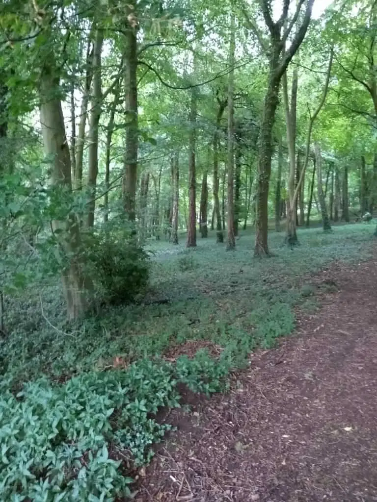
By doing the loop this way, you reach the Stover Creek Shelter on the AT after 4.6 miles. The Stover Creek Shelter is a good place for lunch or a break before the moderate climb back to the parking lot.
3. Springer Mountain/Three Forks Loop (Start AT South) – 10.6 miles; Strenuous
From the Springer Gap parking lot on Forest Service Road 42, hike south on the AT to Springer Mountain. Then, go north on the BMT to Three Forks and south on the AT to the parking lot.
When you hike the Aska Trails or the Benton MacKaye Trails, consider an overnight stay in nearby, beautiful Blue Ridge, Georgia.
Byron Herbert Reece Hiking Trail (Blood Mountain) – 4.4 miles – Moderate
To hike to the top of Blood Mountain, follow the Byron Herbert Reece Trail for .7 mile (blue rectangle blazes) until you reach the Appalachian Trail (AT) (white rectangle blazes). Go right, and follow the AT for 1.5 miles to the top of Blood Mountain. The views are awesome.
Hike back to the trailhead using the same trail. The total distance is about 4.4 miles. The Byron Herbert Reece Trail is marked with blue rectangle trail blazes, and the AT is marked with white rectangle trail blazes.
- From Blairsville, GA, take US-129/US-19 South for 13 miles.
- The Byron Herbert Reece Memorial Trailhead Parking Area is on the right.
The trailhead has 38 free parking spaces. One space is an accessible space. No vehicles over 20 feet long are allowed.
Tallulah Gorge North and South Rim Hiking Trails – 3.3 miles – Moderate
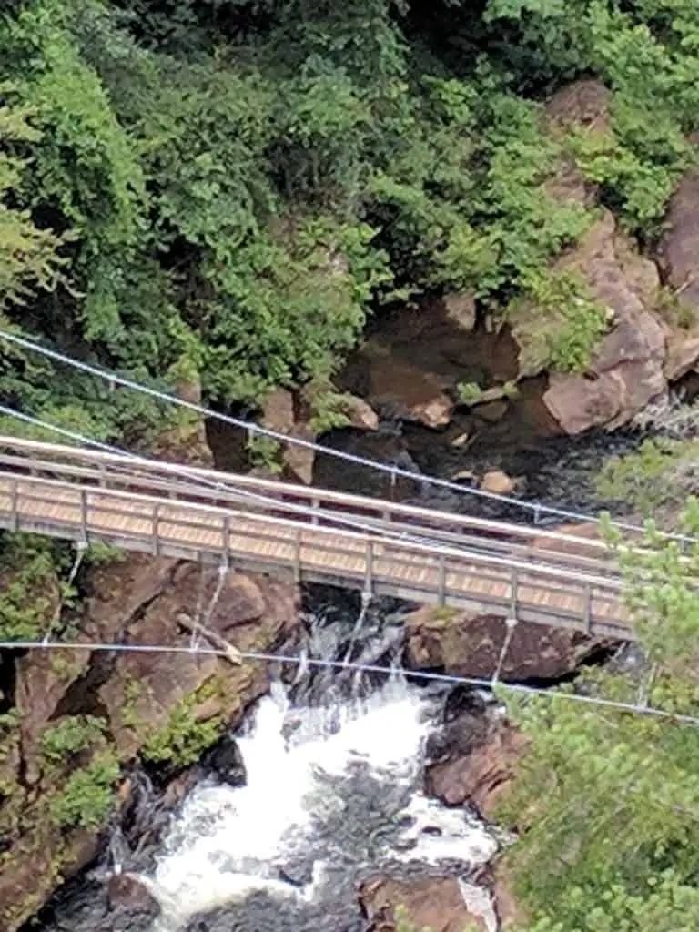
Hike the North Rim Trail and South Rim Trail. Enjoy gorgeous views. The 2 trails give you some of Tallulah Gorge’s best Views. The suspension bridge has stunning, breathtaking views of the gorge.
- From Cornelia Georgia, US-23/US-441 North for 7.4 miles.
- Keep left, and stay on US-23/US-441/GA-15 North towards Clarksville/Clayton for 12.1 miles.
- Turn right onto 338 Jane Hurt Yarn Road. Parking is $5 a day.
Mount Yonah Hiking Trail – 4.5 miles; Hard
The trail starts with a gentle uphill hike that crosses a bridge over a stream. The trail has a series of switchbacks that make hiking uphill easier.
As you hike up the mountain you will use some steps that are part of the mountain itself. Avoid the off trail shortcuts, and stay on the blazed trail. On the trail, be ready to climb over some rocks that are in the trail. They are not difficult to climb over.
The trail gets much steeper during the last part of your hike. About the last third is of your hike is a steep, uphill climb.
From Cleveland, GA 30528 Georgia Highway 75:
- Follow GA-75 North for 2.2 miles, and turn right on Tom Bell Road.
- Take Tom Bell Road for .9 mile, and turn right on Chambers Road.
- Follow Chambers Road for .7 mile, and turn right on Forest Service Road 323.
- Take Forest Service Road 323 for .3 mile until you reach the trailhead parking lot.
Summary – Best Hiking Trails North Georgia
North Georgia has some scenic hikes. These 9 best hiking trails in North Georgia range from easy to difficult. You can find an enjoyable hike and get back on the trail again. Enjoy!
