We may earn money or products from the companies mentioned in this post.
What Is The Santa Monica Mountains Recreation (SMR) Area?
Although close to Los Angeles, Santa Monica hiking trails offer outstanding hiking! The trails range from short family friendly hikes to hard rock climbs with steep drop offs.
The Santa Monica Mountains Recreation Area (SMR) is a national recreation area in Southern California, managed by the National Park Service. The area includes part of the Santa Monica Mountains of Los Angeles County.
The area has 154,095 acres for you to enjoy. The SMR has more than 600 miles of hiking trails. The area is the largest urban national park in the U.S. and the world! The National Recreation Area also contains many smaller state and local parks.

Native American tribes named the Chumash and the Tongva were the first people to live here. They lived here for thousands of years.
Next came the Spanish Explorers and Rancheros. They were followed by the Homesteaders. People still live and work in the Santa Monica Mountains today.
The area’s boundaries include:
- Pacific Palisades on the south
- Topanga State Park on the north
- Malibu Creek State Park and Point Mugu State Park on the west
- Agoura Hills to the east
Why Visit The Santa Monica Mountains Recreation (SMMR) Area?
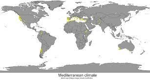
(Enhanced, modified, and vectorized by Ali Zifan., CC BY-SA 4.0, via Wikimedia Commons)
The SMR has a variety of sites to visit. The Pacific Coast Highway is a scenic route that stretches from the ocean to the mountains. The highway provides access to the SMMR Area. Visitors can enjoy hiking trails, viewpoints overlooking the Pacific Ocean, and even wine tasting at some of the wineries in this area.
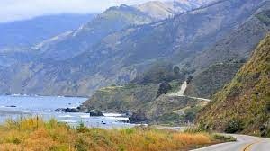
(Credit flickr.com)
Also, The area has a great climate! The recreation area is one of only five areas in the world with a mild Mediterranean climate. The climate’s warm to hot summers, warmer winters, and modest rainfall makes the area ideal for hiking. Enjoy this special hiking climate offered by the Santa Monica Hiking Trails!
If you need some hiking gear, please read this.
What Are Some Of The Best Santa Monica Hiking Trails?
The SMMR Area has some super hikes, and some of the best hikes include:
Corral Canyon Loop Trail
Description
Corral Canyon is one of the most scenic Santa Monica hiking trails. The hike has spectacular Pacific Ocean, Malibu Creek State Park, and Topanga State Park views. Enjoy the river along the trail. Visitors can also enjoy a short hike to an 80 foot waterfall.
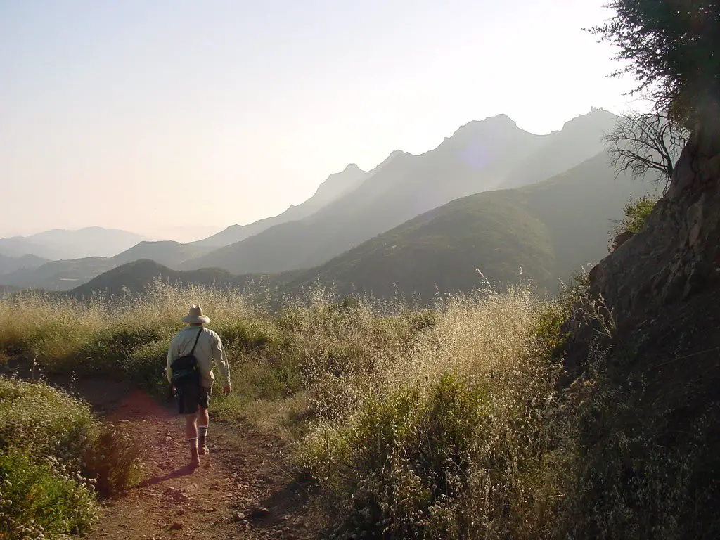
(Public Domain)
Things To Know
- Difficulty: Moderate
- Distance: 2.1 miles
- Elevation Gain: 521 feet
- Dogs: On leash
Directions From Los Angeles
Cave of Munits Trail – Santa Monica Hiking Trails
Description
The Cave of Munits Trail is an excellent hike for beginners since the trail is only 1.7 miles long. Along the trail, enjoy the many kinds of pretty wild flowers. The trail is located in Malibu Creek State Park and connects to other trails in the area.
Things To Know
- Difficulty: Moderate
- Distance: 1.7 miles
- Elevation Gain: 308 feet
- Dogs: On leash
Directions From Los Angeles
Cheeseboro and Modelo Trail Loop – Santa Monica Hiking Trails
Description
The Cheeseboro and Modelo Trail Loop is located in the Santa Monica Mountains National Recreation Area. The trail is good for all levels of hikers. You will love the variety of wildflowers you see along the trail.
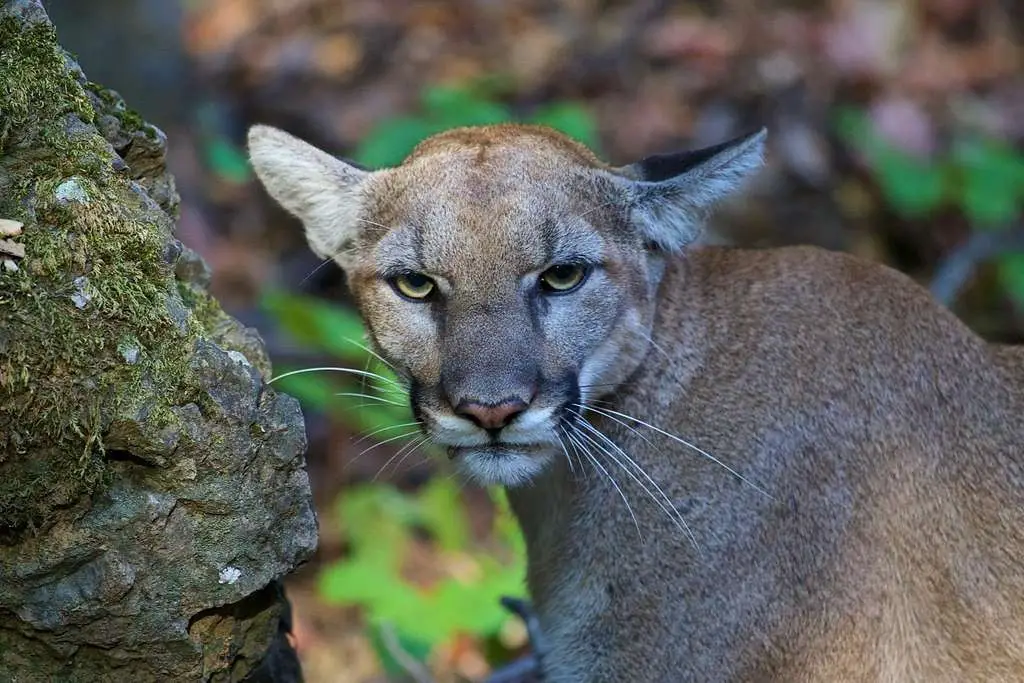
(Credit nps.gov)
Things To Know
- Difficulty: Moderate
- Distance: 2.8 miles
- Elevation Gain: 413 feet
- Dogs: On leash
Directions From Los Angeles
Santa Ynez Falls Trail
Description
Hiking Santa Ynez Falls Trail is a delightful experience for the whole family. This loop trail offers beautiful scenery and a refreshing dip in a pool at the end of the hike.
The Santa Monica Mountains National Recreation Area offers a number of other trails to explore as well, just be aware that all hikes have special considerations that need to be taken into account.
Things To Know
- Difficulty: Easy
- Distance: 2.3 miles
- Elevation Gain: 223 feet
- Dogs: No
Directions From Los Angeles
Runyon Canyon Trail – Santa Monica Hiking Trails
Description
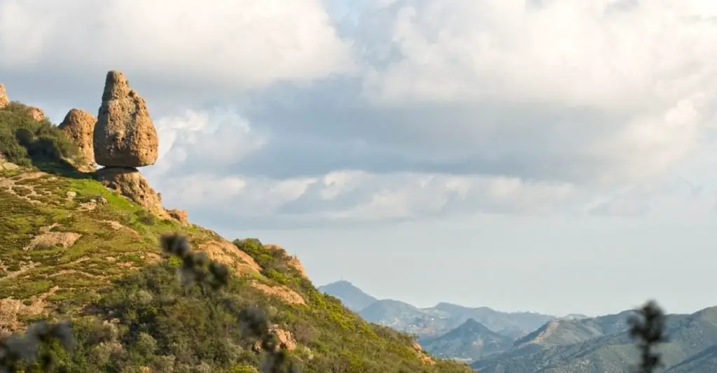
Hiking Runyon Canyon is a popular activity for locals and out of towners. Visitors can enjoy the view of the city from high atop the mountain or take a leisurely stroll along the creek bed. Even though close to West Hollywood, the trail gives you a chance to see wildlife.
(Credit nps.gov)
Things To Know
- Difficulty: Moderate
- Distance: 2.7 miles
- Elevation Gain: 748 feet
- Dogs: Dog friendly
Directions From Los Angeles
Red Rock Canyon Trail To Calabasas Peak
Description
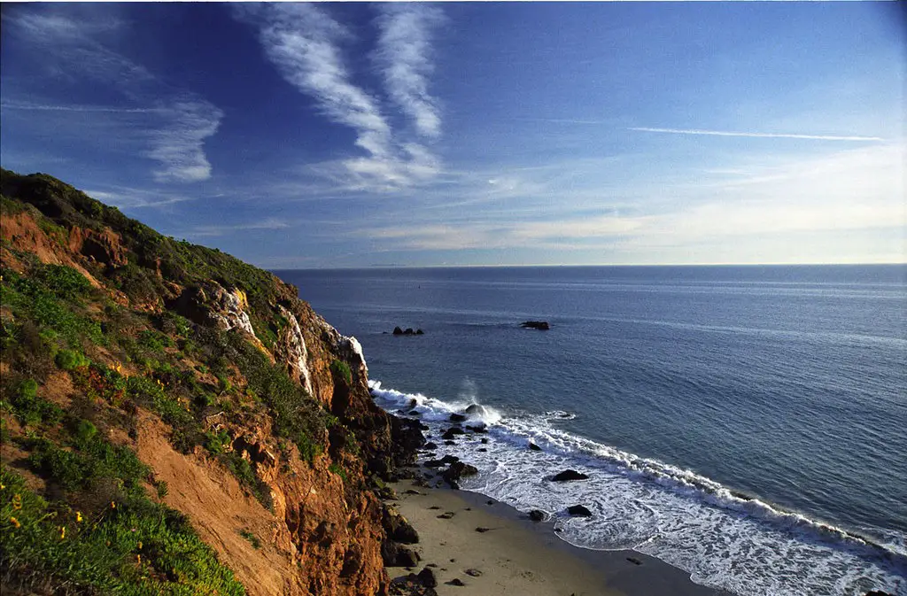
The Calabasas Peak is one of the most popular Santa Monica hiking trails. Located in Malibu, California, this hike begins at Red Rock Canyon Trailhead.
The trail has GREAT views on the way down. There is very little shade so take water, and start early.
(Credit nps.gov)
Things To Know
- Difficulty: Moderate
- Distance: 4.2 feet
- Elevation Gain: 1,059 feet
- Dogs: On leash
Directions From Los Angeles
Escondido Falls Trail – Santa Monica Hiking Trails
Description
Escondido Falls is a relatively easy trail to hike. The hike is a great way to escape the city. To get there, you’ll want to exit at Via Princessa and head towards the mountain bike trailhead.
The trailhead is about a mile up the road on your right. This is a fun hike to take with a friend or small group.
Things To Know
- Difficulty: Easy
- Distance: 3.7 feet
- Elevation Gain: 626 feet
- Dogs: On leash
Directions From Los Angeles
Nicholas Flat Trail Via Decker School Road
Description
The Nicholas Flat Trail in the Santa Monica Mountains National Recreation Area is a short but rewarding hike. The trail has many beautiful views.
Things To Know
- Difficulty: Easy
- Distance: 3.5 miles
- Elevation Gain: 623 feet
- Dogs: On leash
Directions From Los Angeles
Lower Malibu Creek Loop Trail
Description
The Lower Malibu Creek Loop Trail is a beautiful Santa Monica Mountains hiking trail. The main caution is that there are a few steep sections.
The trail starts off by going up a hill to get to an open area that overlooks the ocean. This section of the hike is tough but worth the view at the top. After this, it’s mostly downhill to get back to the trailhead.
Things To Know
- Difficulty: Moderate
- Distance: 8 miles
- Elevation Gain: 224 feet
- Dogs: No
Directions From Los Angeles
Summary – Santa Monica Hiking Trails
Even though the Santa Monica Mountains Recreation Area is within an hour of Los Angeles, you will find many GREAT hikes here! The recreation area has an ideal hiking climate. Enjoy this unique climate!
If you want to get away from the city, enjoy some great scenery in an ideal hiking climate, choose one of these fun Santa Monica hiking trails.
If you need boots or a backpack, read these posts:
